
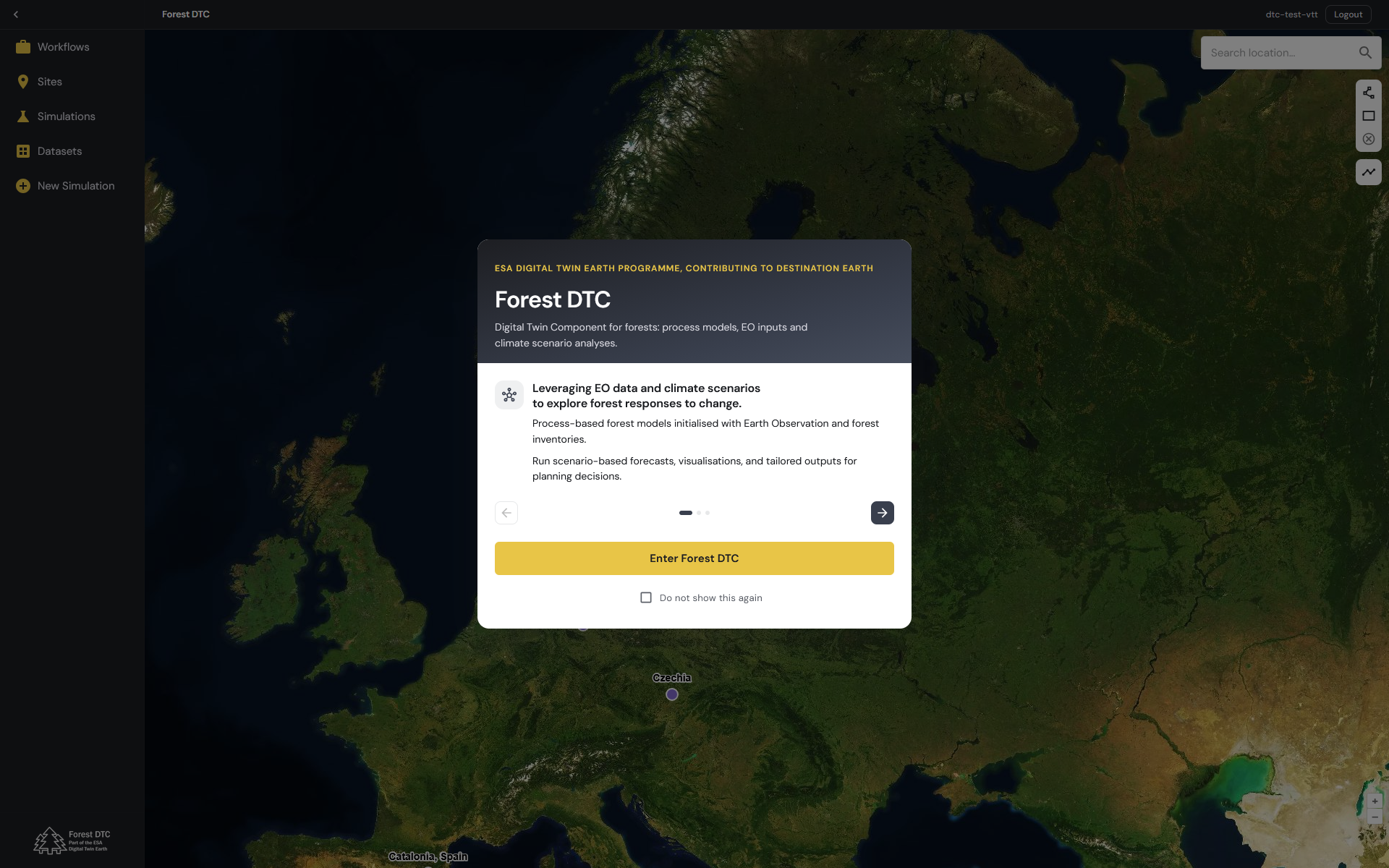
Forest DTC brings together Earth observation data, forest growth models and climate information to enable simulations of forest development under changing environmental conditions. The pre-operational system allows users to simulate forest growth and management actions and to estimate the risk of disturbances, providing insights into potential changes in forest resources and carbon balance.
System capabilities
Forest DTC offers a range of tools and functionalities that allow users to explore forest data, configure simulations and analyse forest development and disturbance risks under different climate and management scenarios.
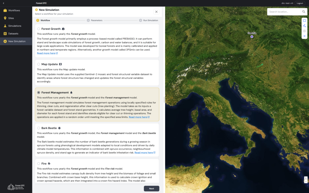
Workflows
- Map Update: Uses Sentinel-2 satellite imagery and existing forest structural variable data to identify changes in forest structure and update the corresponding forest variable maps.
- Forest Growth: Runs yearly forest growth simulations using the process-based PREBASSO model, which simulates forest growth, carbon and water balances at stand and landscape levels. PREBASSO is primarily calibrated for northern and temperate forests. Alternatively, the 3PGmix growth model can be used.
- Forest Management: Runs yearly forest growth and management simulations using locally specified rules for thinning, clear-cutting and regeneration. Management operations are applied to eligible forest stands according to predefined harvesting area limits.
- Bark Beetle: Runs yearly forest growth, management and bark beetle simulations. The bark beetle model estimates the potential number of generations during the growing season using daily temperature data and locally adapted phenological models. These estimates are combined with spruce occurrence, neighbourhood spruce density and stand age to assess potential infestation risk.
- Fire: Combines yearly forest growth simulations with fire hazard modelling. The model uses canopy bulk density and crown base height to assess canopy ignition and crown spread hazards, which are combined into a crown fire hazard index. It also calculates the Fire Weather Index (FWI) to assess weather-related fire danger.
System functionalities
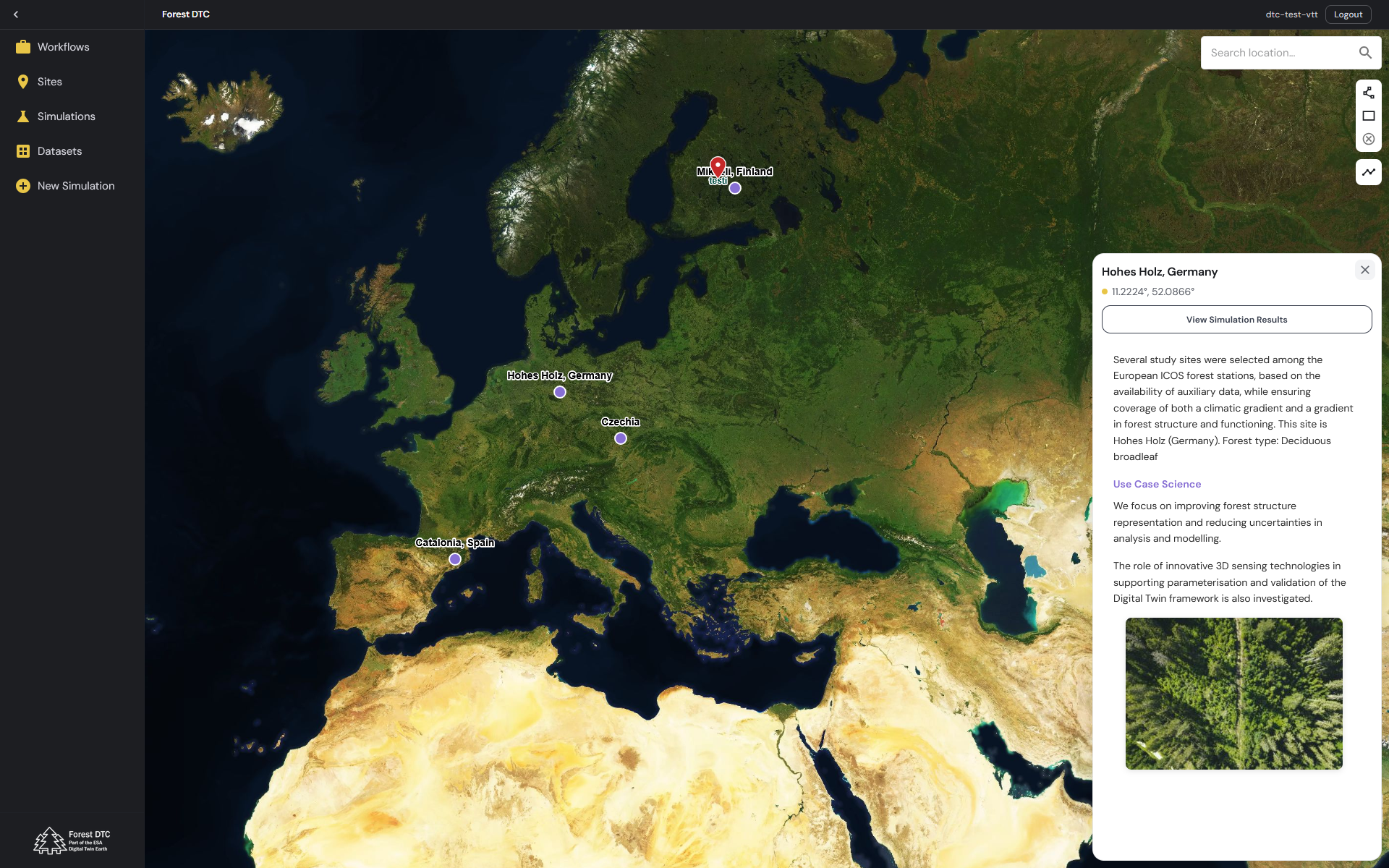
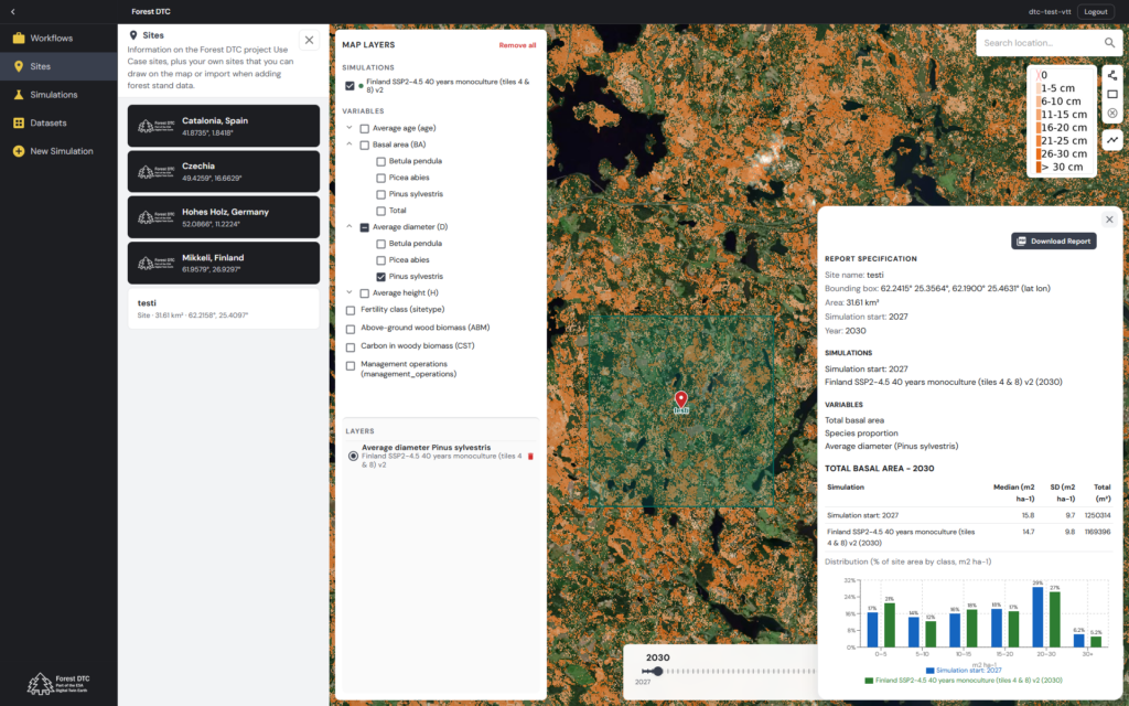
- Study area management: Allows users to define their own study areas using interactive map tools.
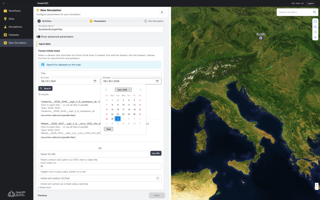
- Dataset management: Enables users to browse and upload datasets for use in forest simulations.
- Simulation configuration: Allows users to select modelling workflows, input datasets, simulation periods and relevant parameters.
- Simulation management: Allows users to browse, search and inspect existing simulations, including their inputs, outputs and configuration.
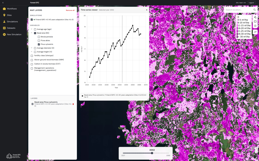
- Visualisation and analysis: Provides maps, time graphs and statistical summaries for exploring simulation results.
- Data download: Enables users to download simulation outputs for further analysis using external tools.
Input data requirements and model applicability
- Input data requirements: Forest DTC simulations require suitable forest structural data, site characteristics and climate information.
- Climate scenarios: Forest DTC supports climate scenarios defined by Shared Socioeconomic Pathway (SSP) experiments, using two climate data sources: (1) CMIP6 climate projections from the Copernicus Climate Data Store and (2) the Destination Earth Climate Change Adaptation Digital Twin (Climate DT).
- Model applicability: The applicability of the forest growth models to different regions and forest types depends on the availability of appropriate input data and model calibration. Additional calibration and validation may be necessary when applying the system to new regions.
System showcase
Explore Forest DTC through the examples below, providing a glimpse into the system’s user interface and selected functionalities.
How to access the system?
Interested in exploring Forest DTC in its current pre-operational stage? Please contact us to enquire about the possibility of trial access to the system.